Work worth building on.
I’m Srijith Balan, a remote sensing and GIS researcher.
Every piece of research becomes someone’s foundation, so I try to show all of it: the method, the context, and the result, whether it worked or not. Here you’ll find my published research, consulting work and tools, and smaller explorations that ask what polished maps and reports leave out. No environmental change happens in isolation.
Recent explorations
Short studies from GISVENTURE, my exploration lab. Each one states what the data supports, where it stops, and what it connects to. See all explorations
-
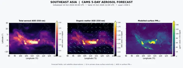
Southeast Asia’s haze: fires and forecasts together
Aerosols, VIIRS active fires with CAMS five-day forecasts
- Shows
- Modelled mean aerosol optical depth falling by about 43% over five days, unevenly.
- Doesn’t show
- Smoke travelling from particular fires to particular places.
- Connected to
- Fire activity, winds at several heights, vertical mixing, rain washout.
-
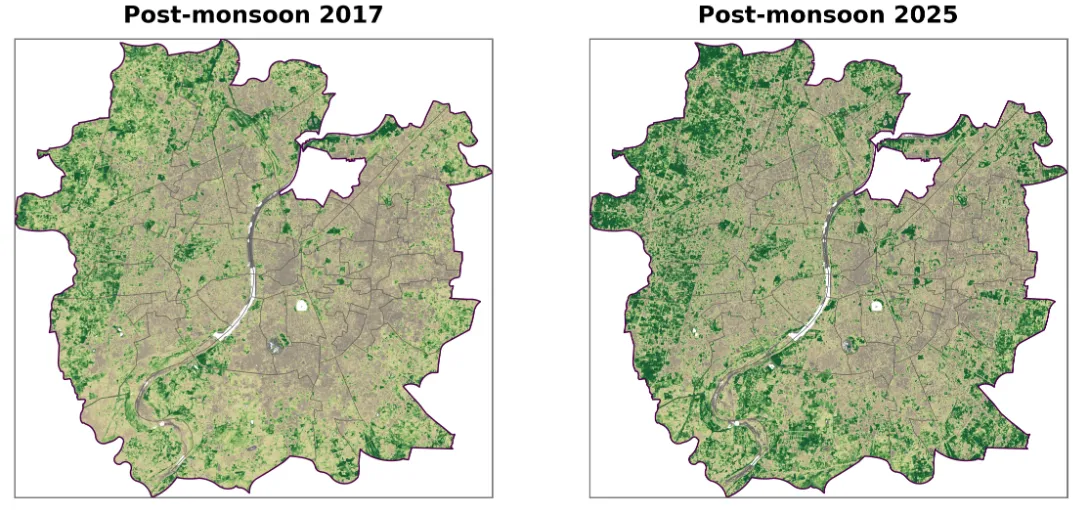
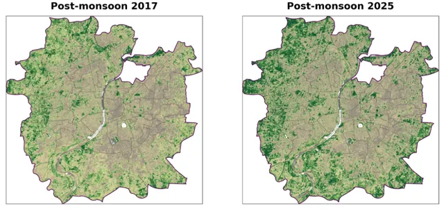
Two NDVI maps are not the whole story
Vegetation change, Ahmedabad, Sentinel-2, 2017–2026
- Shows
- Post-monsoon NDVI was higher in 2025 than in 2017.
- Doesn’t show
- A steady rise. The years between swung up and down.
- Connected to
- Rainfall and monsoon timing, vegetation phenology, irrigation, urban expansion.
-
Why understanding the landscape matters in mangrove restoration
Essay, mangrove restoration
-
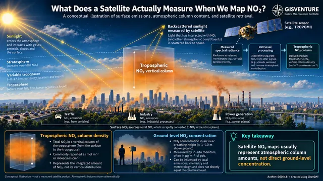
What does a satellite measure when we map NO₂?
Air quality explainer, Sentinel-5P TROPOMI
- Shows
- How much NO₂ sits in the whole tropospheric column.
- Doesn’t show
- The concentration at breathing height.
- Connected to
- Emissions, wind and mixing, atmospheric chemistry, weather.
-
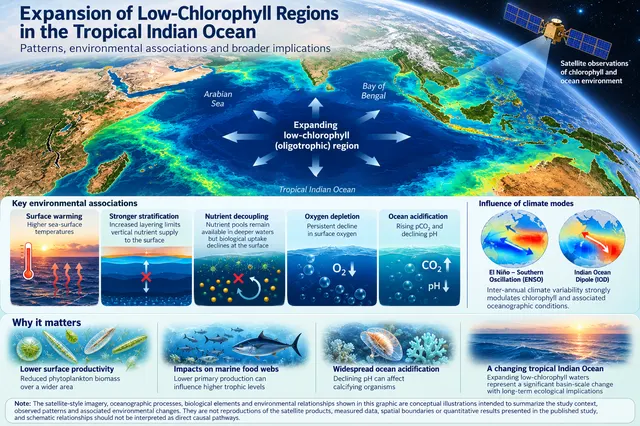
Low-chlorophyll waters are spreading in the tropical Indian Ocean
Paper explainer, ocean colour, 2015–2024
- Shows
- Regional and seasonal expansion of low-chlorophyll area, alongside warming, oxygen and pH changes.
- Doesn’t show
- A single cause. El Niño and the Indian Ocean Dipole shape the decade too.
- Connected to
- Surface warming, stratification, nutrient supply, monsoons, El Niño and the IOD.
Published research
Ocean optics, phytoplankton and coastal dynamics. All publications
- Optical variability of Trichodesmium erythraeum and T. thiebautii blooms in the Arabian Sea: from pigments to satellite signals Remote Sensing Applications: Society and Environment, 2026
- Expansion of low-chlorophyll regions in the tropical Indian Ocean: spatial patterns and physical–biogeochemical associations Marine and Freshwater Research, 2026
- Linking derivative absorption spectra and HPLC pigments to satellite observations for phytoplankton typing in coastal India Journal of the Indian Society of Remote Sensing, 2026
Projects
Applied work for restoration programmes, NGOs and researchers.
- Mangrove restoration, coastal Gujarat. Two decades of restoration outcomes read by planting phase, and a radar-based baseline for the next phase, with VIKAS Centre for Development.
- Brine outfall siting. Seasonal 2D hydrodynamic modelling on an arid coastal mudflat.
- CartoZen. A publication-ready map generator for scientists and fieldworkers, usable right on this site.
Mentoring
Before remote sensing, I taught physics for a decade. I still mentor young learners, on more than academics.
- Beyond the Bell: Rethinking Schools, a podcast on school beyond grades. Episode 1: What an Ideal School Should Be.
- Conflicts: not an obstruction but a learning curve
- Troublemakers? Yes. But why?!
Get new explorations by email
Roughly twice a month. One piece of data, read carefully, and a question for you.